Subscribe now

Why are the highest peaks of the British Isles so close to the coast?

The coastal location of the highest mountains of the each of the countries of the British Isles could be down to geology or chance, but it is probably a results of tectonics, say our readers

7 September 2022

June 4, 2022. Scotland, Great Britain. Beautiful mountain landscape.; Shutterstock ID 2171224787; purchase_order: -; job: -; client: -; other: -

PhotoWiolaGrafika/Shutterstock

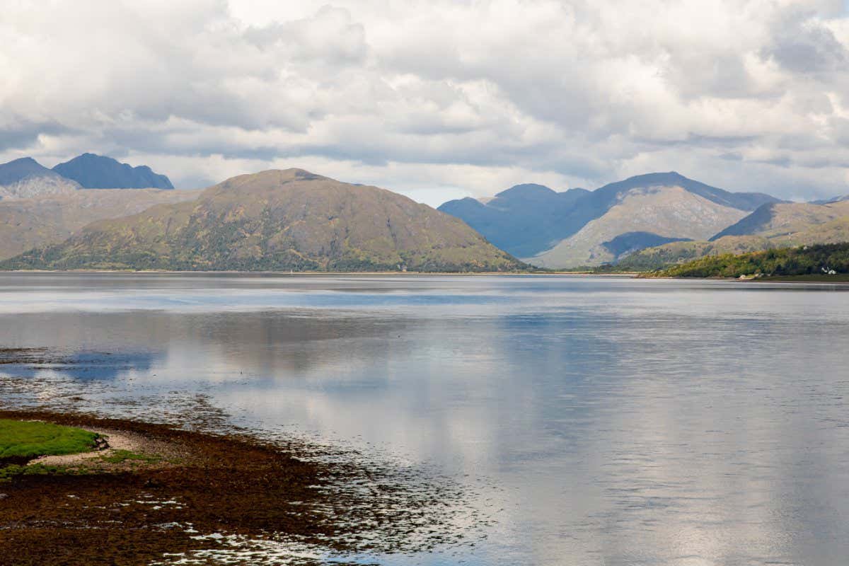
The highest peaks in each of the five countries of the British Isles are all within around 15 kilometres of the coast. Is there any geological reason why they are all so close to the sea?

Hillary Shaw
Newport, Shropshire, UK

Two factors may apply here: geometry and geology.

Geometrically, a significant fraction of Britain is within 15 kilometres of the sea. England, its biggest country, approximates to a 500-kilometre x 200-kilometre rectangle (minus Devon and Cornwall). This means that 485km x 170km of it (allowing for the landlocked north border), or around 17.5 per cent of the land, is…

Sign up to our weekly newsletter

Receive a weekly dose of discovery in your inbox. We'll also keep you up to date with New Scientist events and special offers.

Sign up

To continue reading, subscribe today with our introductory offers

Piano Exit Overlay Banner Mobile Piano Exit Overlay Banner Desktop